Our villages and their history
- Bonlez
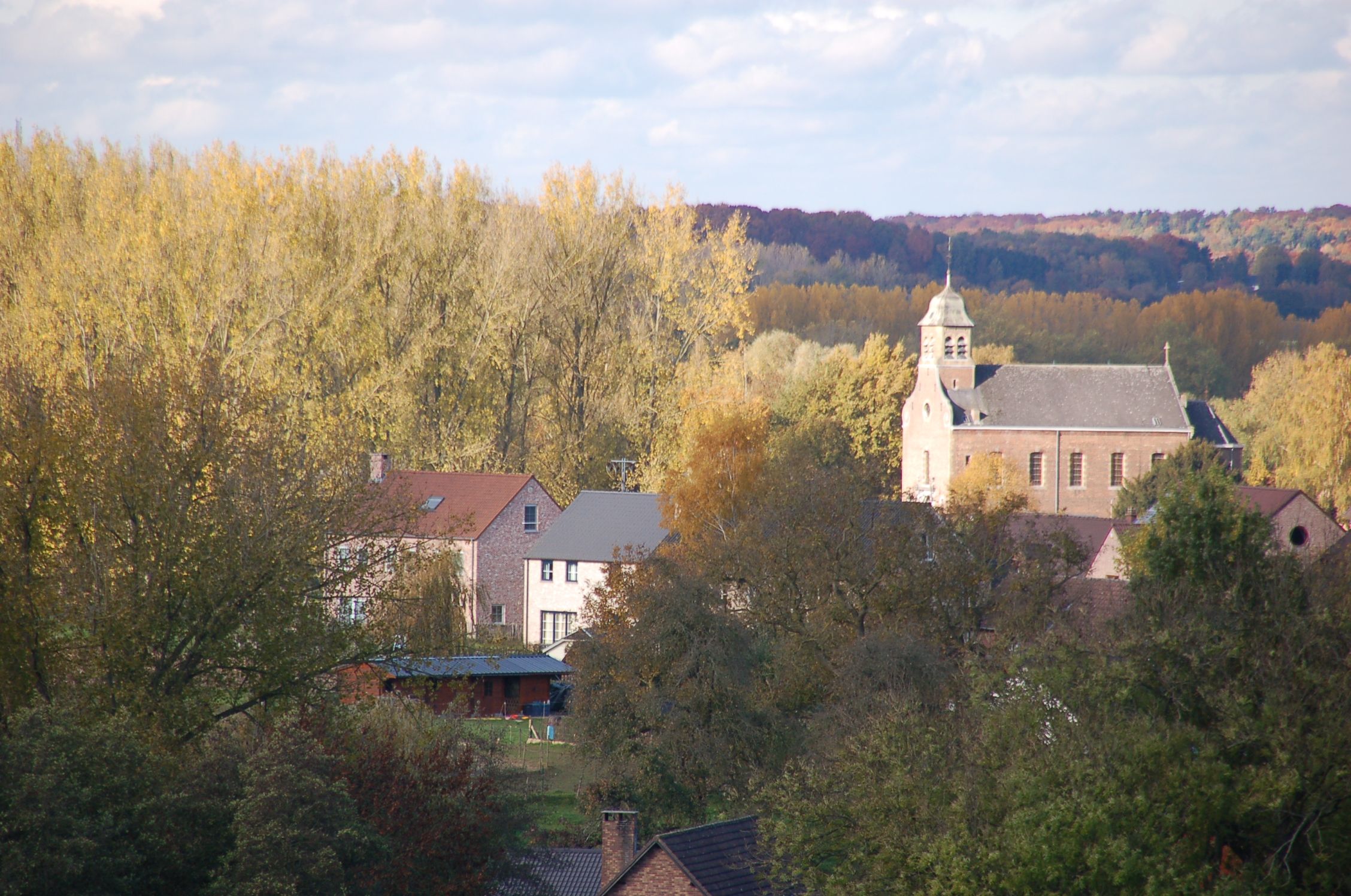
Bonlez lies in the magnificent valleys of the river Train and Glabais.
This old farming village, now recently become more residential, sits in the undulating wooded countryside of sandy loam hills, the summit of which at 140 meters, is at the Coquiere meadow.
History
Although inhabited since the Bronze Age, it is not until the Middle Ages that we see record of the village situated in the Train Valley. At that time the village was split into two parts; Haut-Bonlez and Bas-Bonlez, (Upper and Lower Bonlez in English). Haut Bonlez was situated at the southernmost part of the village next to the parish church whilst Bas-Bonlez was located next to the manor house. The history of the Land of Brabant is intrinsically linked with that of the country squires right up to the beginning of the 20th century. In fact, the Abbey at Affligem owned lands in Bonlez up to the time of the French Revolution.

- Chaumont-Gistoux
Etymology: Chaumont “calcus mons” 1031 = bald hill
Gistoux “gesteau” = sandy hill
History
Though populated even as far back a Neolithic times, the first mention of Chaumont and its hamlet Gistoux came in the Middle Ages. The Lords of Chaumont having been usurped by the Abbey at St Bavan in Ghent having been ceded by a crown prince of Liege to one of his vassals, Lambert de Chaument, first cited in the records in the year 1031. )= cleared land ready for planting.
In 1196, Erphon de Chaumont donated the church and the relate tithe income (levied by the Bishop of Liege) to the Abbey of Eternal Hope in Hainaut, Split up between different owners (abbeys and secular owners) and subjected to the guardianship of rival powers ( the Duke of Brabant and the Bishop) experienced both numerous and frequent court cases. Chaumont, a legal enclave of Liege situated in Brabant remained “disputed territory” to the dukes of Brabant up until 1795. It was when France annexed our region that Chaumont and it local Hamlet Gistoux became part of the general region of the Dyle. In 1830 it became part of Brabant. The official seals of the current district are the same as those of the town of Lummen which retained property in Chaumont since the 14th century.

- Corroy-le-Grand
Etymology: Corroy-le-Grand, ‘ Corratum Magnum” 1441- Conroye, Chastre-le- Bol dict le Grandt (1571)
Vieusart: esart = cleared land ready for planting.
Located on excellent sandy loam farm land, Corroy-le –Grand and the hamlet at Vieusart have retained their truly rural aspect, despite the fact that in common with other areas the impact of new housing areas continues to be felt.
History
The village was first known under the name of Castre in 1958 and experienced a turbulent history through the centuries.
In 1152 Coory-le-Grand belonged to the Order of St Peter in Liege who later sold the estate to Charles de Rolly and Lady. Jeanne de Croy in 1601. In 1705 Jean-Nicolas de Beeckman, lord of Vieuesart, acquired the property and it was his heraldic seal that were adopted by Corroy-le-Grand.
In 1815, on the eve of the battle of Waterloo, a skirmish broke out between the troops of Lt Colonel Lebedur, commander of the Prussian front line and the French cavalry commanded by Exelmans of the Grouch division who fell back towards Wavre.
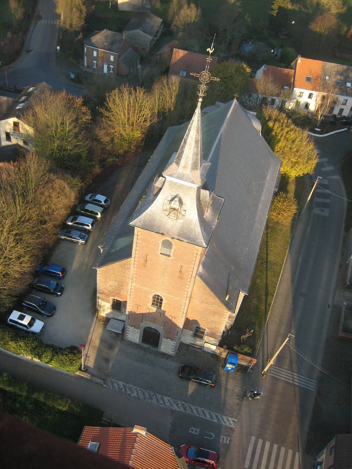
At the church of Corroy-le-Grand dating from 1775 you can see the magnificent painting by Van Heuvel depicting the “Adoration of the Magi” painted in 1640, as well as the tombstones of the Beeckman and Rolly families. The church organ is protected as part of the national heritage.
The neo roman church of St Martin in Vieusart dates from 1876.

- Dion-Valmont
Etymology: “devona”, celtic = divine river
This charming village offers some of the most pleasant places to visit, magnificent panoramas, numerous picturesque locations and some old farms, silent witnesses to time gone by.
Dion-le-Mont was already cited in history in a transfer of property to the Abbey of Gembloux when a certain Mr Radon settled a hundred forest lots on the banks of the river Dion. Up until 1623 the Abbey maintained the village as sacrosanct.
In 1815, the night before the battle of Waterloo, a division of 30,000 men from Von Billow’s army laid waste to the village.
After 1623 the lordship of Dion-le-Mont was successively sold to Pierre Dams, alderman of Antwerp, and then to the Gallo de Salamanca, d’Aremberg and Beeckman Vieusart families.
In 1970 Dion-le-Mont fused with Dion-le Val to form Dion-Valmont.

- Longueville
Etymology: "longua and villa" (1234) = village extended in length
Longueville is a charming village that long remained isolated in the surrounding countryside. Its remoteness, mainly due to a lack of communication means allowed the village to preserve its rural and agricultural nature.
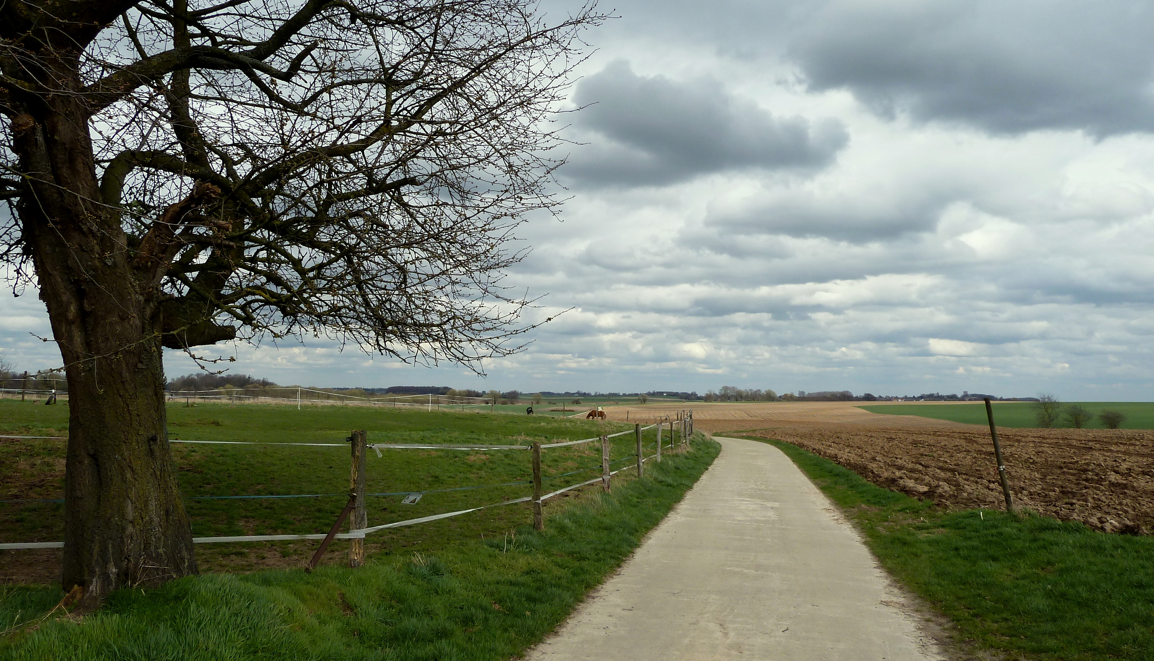
As per its location on a plateau, there are no river crossing the village. The highest point is 140m at the threshold of the church entrance. Longueville's name probably inherited its name because of the houses' alignment along the two main parallel roads that cross the village from North to South.
History
Local traditions also explain the roots of the village; there once was an important communication nexus. Nowadays you can see the roads leading to Wavre via Grez-Doiceau, to Leuven via Piètrebais, to Jodoigne via Roux-Miroir and to both Sart-Risbart and Chaumont.
In the 13th century, Longueville presumably got separated from Incourt juridiction, belonging to the Duke of Brabant, forming its own parish.

